A powerful earthquake struck Panama on Friday afternoon, rattling buildings in Panama City, sending residents into the streets and triggering tsunami warnings across the Pacific coastlines of Central and South America. The US Geological Survey measured the quake at a preliminary magnitude of 7.6, after initially reporting it as high as 8.0.
Table of Contents
- A major quake near Pitaloza Arriba
- Tremors felt in Panama City
- Tsunami warnings from Mexico to Peru
- Damage and casualties still unclear
- A region on seismic alert
- Key takeaways
- Frequently Asked Questions
- Sources
- Related from Chronicle
A major quake near Pitaloza Arriba
The earthquake hit at 12:56 local time (17:56 UTC), with its epicentre about 10 kilometres west-southwest of the town of Pitaloza Arriba, according to the USGS. It was a shallow event, striking at a depth of roughly 10 kilometres — the kind of quake most likely to be felt strongly at the surface and, in offshore terms, most capable of displacing the water column above a fault.
In its first bulletin, the USGS put the magnitude at 8.0 before revising it down to 7.6. A magnitude-7.6 earthquake ranks as a major event: by the Michigan Technological University scale used by USA Today, quakes between 7.0 and 7.9 are classed as capable of causing serious damage over a large area.
Tremors felt in Panama City
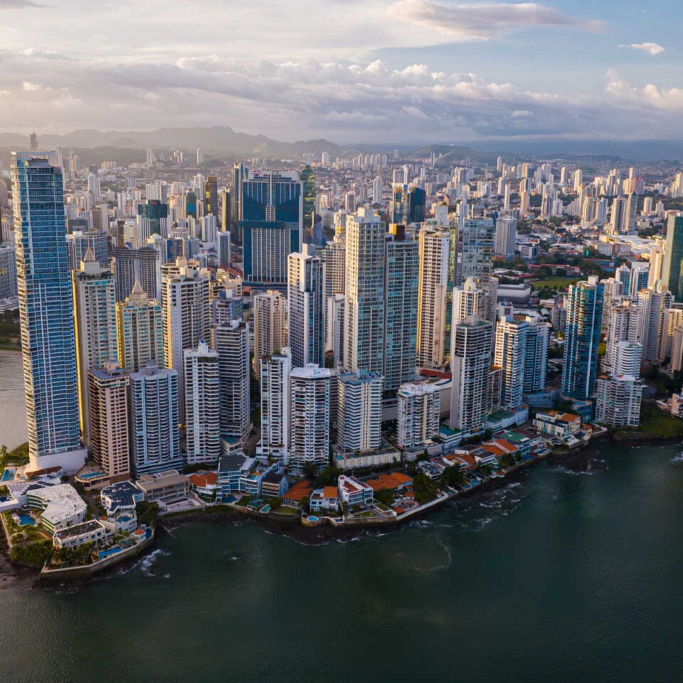
Although the epicentre lay roughly 120 miles from the capital, the shaking was felt clearly in Panama City, where witnesses reported buildings swaying and crowds gathering in the open. Photographs from the aftermath showed visibly shaken residents standing outside on city streets, and people waiting outside the maternity ward of the Santo Tomás hospital as a precaution.
The tremors came uncomfortably close to one of the world's most critical pieces of infrastructure: the Panama Canal, the 82-kilometre artificial waterway that handles a huge share of global shipping, lies near the capital and well within the felt area of the quake.
Tsunami warnings from Mexico to Peru
Within minutes of the shaking, the US National Weather Service issued a tsunami warning, and the Pacific Tsunami Warning Center cautioned that hazardous tsunami waves were possible along the Pacific coasts of Costa Rica, Panama, Nicaragua, Guatemala, El Salvador, Mexico, Colombia, Ecuador and Peru, with a tsunami watch in effect for Chile. Chilean authorities separately issued their own tsunami warning, and officials warned that Hawaii could also be at risk.
Such warnings are issued based on the size and depth of the quake rather than confirmed wave observations; it was not immediately known whether a tsunami had actually been generated. The standard guidance in a tsunami warning is unambiguous: people near Pacific coastlines in the warned areas should move to higher ground and stay away from shore until an all-clear is given.
Damage and casualties still unclear
In the first hours after the quake, it was not immediately clear whether anyone had been injured or what structural damage had occurred, as reported by USA Today. Emergency services and seismological agencies were continuing to assess the situation, and the initial focus was on the tsunami threat to low-lying coastal communities, where any destructive waves would arrive first.
Shallow earthquakes of this size can cause significant destruction near the epicentre even at moderate distance, particularly in areas with older construction. Authorities in Panama were expected to release a first damage assessment once inspectors reached the towns closest to Pitaloza Arriba.
A region on seismic alert
Central America's Pacific coast sits along one of the most seismically active boundaries on the planet, where the Cocos plate grinds beneath the Caribbean plate. The region has produced catastrophic tsunamigenic earthquakes before, which is why warning systems across the eastern Pacific are primed to act within minutes.
The Panama quake is the latest in a week of destructive weather and seismic shocks hitting the Americas and the Mediterranean, from the violent Sicily tornado to record flooding in Santiago, Chile and the first Atlantic hurricane of the season.
Key takeaways
- A magnitude-7.6 earthquake struck near Pitaloza Arriba, Panama on Friday 9 October 2026 at 12:56 local time (17:56 UTC), at a depth of about 10 km.
- The quake was felt in Panama City, where residents evacuated buildings and gathered in streets; injuries and damage were not yet assessed.
- Tsunami warnings were issued for Pacific coasts from Mexico to Peru, with a watch for Chile and an alert for Hawaii.
- The epicentre lay about 120 miles from the capital and within the felt area of the Panama Canal.
Frequently Asked Questions
How strong was the Panama earthquake?
The US Geological Survey measured it at a preliminary magnitude of 7.6, after initially reporting 8.0. At 7.6 it is classified as a major earthquake capable of causing serious damage over a large area.
When and where did it strike?
It struck at 12:56 Panama time (17:56 UTC) on Friday 9 October 2026, with its epicentre about 10 kilometres west-southwest of Pitaloza Arriba, Panama, at a depth of roughly 10 kilometres.
Is there a tsunami threat?
Yes — a tsunami warning was in effect for Pacific coastlines from Mexico to Peru, with a tsunami watch for Chile and a warning that Hawaii could be at risk. People in warned coastal areas should move to higher ground until an all-clear is issued.
Was anyone hurt or killed?
In the first hours after the quake, no casualties or damage assessments had been confirmed. Emergency crews were still reaching the area around the epicentre.
Sources
- USA Today — magnitude, epicentre location and tsunami threat
- USGS — event data for the Pitaloza Arriba earthquake
- The Guardian — initial reporting of the 7.6-magnitude quake and tsunami warnings