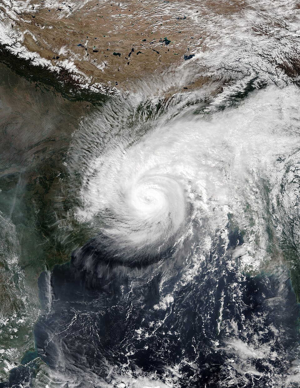
A powerful storm sweeping across the Bering Sea is battering western Alaska with coastal flooding, while a second punch of heavy snow and near-blizzard conditions grips the state's interior, leaving forecasters, road crews and village emergency teams working on two fronts at once.
The coastal threat is centred on the Yukon-Kuskokwim (Y-K) Delta, a vast, low-lying region of western Alaska where dozens of predominantly Yup'ik communities sit barely above sea level. There, a formidable marine system is pushing storm surge ashore on top of high tides, raising water levels well above normal marks and threatening homes, boat moorings, coastal roads and other infrastructure, according to The Sunday Guardian.
Emergency managers have urged residents in vulnerable zones to secure property, move valuables to higher ground where possible and monitor local alerts closely, as surging tides continue to test flood defences along exposed shorelines.
Contents
- A dangerous combination: surge plus high tide
- Why the Y-K Delta is so exposed
- Interior Alaska buried under snow
- A state fighting on two fronts
- Frequently Asked Questions
A dangerous combination: surge plus high tide
What makes this storm especially hazardous is not wind alone but timing. Forecasters warn that the combination of gale-force winds driving water shoreward and high tides lifting the baseline sea level greatly magnifies the risk of localised inundation. National Weather Service forecaster Marcus Vance told emergency coordinators in Anchorage that the severity of these maritime storm tracks means coastal communities must remain vigilant against rapid flooding and potential structural damage along shorelines, with preparation and localised evacuations where necessary vital to minimising risk, The Sunday Guardian reported.
Regional public safety officials have been coordinating closely with municipal leaders to assess flood defences and issue timely warnings, a routine that has become grimly familiar in a region where autumn storms regularly arrive before sea ice forms to buffer the coast.
Why the Y-K Delta is so exposed
The Y-K Delta is one of the most flood-prone inhabited landscapes in the United States. Its villages are scattered across flat tundra threaded with rivers and sloughs, often with no road connection to the rest of Alaska. Supplies arrive by barge in summer and by air or snowmachine in winter, which means a storm that damages a runway, a fuel tank farm or a boardwalk can isolate a community quickly.
Erosion is a slow-moving companion to the sudden flooding. Year after year, storm waves chew away at shorelines that are no longer protected for as long by sea ice, forcing some villages into long, painful conversations about relocation — a process that can take decades and cost hundreds of millions of dollars. Each major autumn storm renews the urgency of those discussions, even when the immediate damage is contained.
That geography also shapes the response. With no highways to close or detour, warnings travel by radio, phone and word of mouth, and neighbours check on elders and households nearest the water. State emergency officials typically pre-position supplies and stand ready to support local leaders, who know their own ground best.
Interior Alaska buried under snow
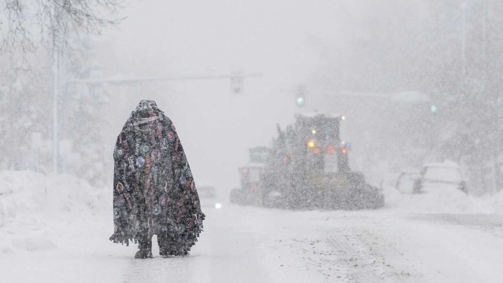
While the coast contends with water, interior Alaska is contending with snow. Heavy snowfall warnings remain in effect across interior regions and the eastern Alaska Range, where transport routes have suffered severe drops in visibility and near-blizzard conditions.
The National Weather Service has maintained strict Winter Storm Warnings for major transit corridors, including sections of the Richardson Highway near Isabel Pass, where wind gusts reaching 65 mph have created blinding blowing snow and treacherous driving conditions. Department of Transportation road crews have deployed ploughs around the clock to manage drifting snow, while state troopers have strongly advised against non-essential travel as routes became nearly impassable, according to The Sunday Guardian.
Isabel Pass, a high mountain corridor on the Richardson Highway between Paxson and Delta Junction, is no stranger to brutal winter weather, but the combination of multi-foot accumulations in places and sustained high winds makes clearing operations slow and dangerous work. Drivers who must travel are urged to carry emergency supplies, keep fuel tanks full and check road conditions before setting out.
A state fighting on two fronts
The twin hazards illustrate a familiar Alaskan October pattern: the Bering Sea generates powerful autumn cyclones while the interior tips into winter. What is striking about this episode is the simultaneity — coastal flood warnings in the west and winter storm warnings in the interior at the same time, stretching forecasters, road crews and emergency managers across thousands of miles.
Residents are being asked to do the unglamorous work that saves lives in such events: heed evacuation advice if it comes, avoid driving through flooded or whiteout conditions, and keep checking on neighbours. No storm surge or snowdrift can be argued with; the margin of safety comes from acting early, before roads close and water rises.
Forecasters will continue to update warnings as the system evolves, and the next high-tide cycle will be watched closely along the Y-K Delta coast. For now, western Alaska waits on the water, interior Alaska digs out of the snow, and both ends of the state share the same advice: stay alert, stay off dangerous roads, and do not underestimate a storm that can flood one region while burying another.
Related coverage: a cyclone gathering strength in the Bay of Bengal is expected to strike India's Andhra coast on October 28, while Super Typhoon Champi battered Taiwan earlier this week, and twin earthquakes struck Vanuatu with a tsunami warning in the Pacific.
Frequently Asked Questions
Which parts of Alaska are affected by this storm?
The main coastal flooding threat covers western Alaska, particularly the Yukon-Kuskokwim Delta, where a Bering Sea storm is pushing surge ashore. Separately, heavy snow and winter storm warnings affect interior Alaska and the eastern Alaska Range, including the Richardson Highway near Isabel Pass.
Why is coastal flooding so dangerous in the Y-K Delta?
Many Y-K Delta villages sit just above sea level on flat tundra with no road access, so floodwater can damage homes, fuel supplies and runways and isolate communities quickly. High tides combined with gale-force winds push water further inland, and erosion has already weakened many shorelines.
How bad are driving conditions in interior Alaska?
Wind gusts of up to 65 mph near Isabel Pass have created blinding blowing snow, with some mountain passes receiving multi-foot snow accumulations. State troopers have advised against non-essential travel, and road crews are ploughing around the clock.
What should residents in affected areas do?
Residents should monitor local alerts, secure property, avoid flooded roads and whiteout driving conditions, and follow any evacuation advice from local officials. Forecasters stress that preparation before water rises or roads close is the key to staying safe.